

Browse South Carolina & Georgia
Area Information
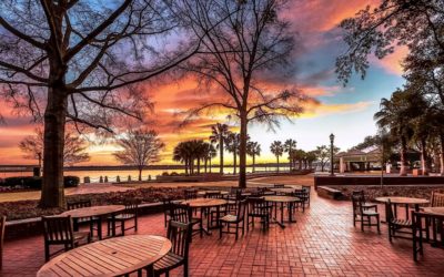
Beaufort
South Carolina
Bluffton
South Carolina
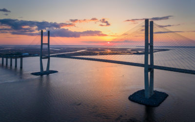
Brunswick
Georgia
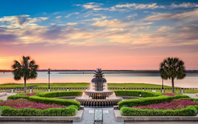
Charleston
South Carolina
Darien
Georgia
Dataw Island
South Carolina
Edisto Beach
South Carolina

Fripp Island
South Carolina
Harbor Island
South Carolina
Hardeeville
South Carolina
Hilton Head
South Carolina

Jekyll Island
Georgia

Kiawah Island
South Carolina

Kingsland
Georgia
Lady’s Island
South Carolina
Midway
Georgia
Okatie
South Carolina
Pooler
Georgia
Port Royal
South Carolina
Port Wentworth
Georgia
Richmond Hill
Georgia
Ridgeland
South Carolina
Rincon
Georgia
Sea Island
Georgia
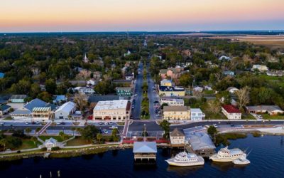
ST. Marys
Georgia
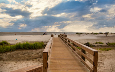
St Simons Island
Georgia
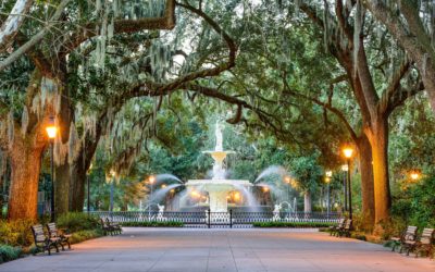
Savannah
Georgia
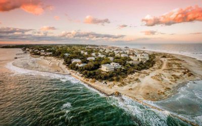
Tybee Island
Georgia
We are real estate professionals licensed in South Carolina and Georgia, working a coast that runs from Charleston through the Lowcountry, across the Savannah River and on to the Golden Isles. You can drive the length of it in a day, but the towns and islands along the way have far less in common than the distance suggests. A town and a barrier island can sit twenty minutes apart and offer two very different ways of living. The difference is in the setting, the neighbors, the pace of the year and, ultimately, what you are buying into.
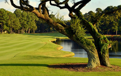
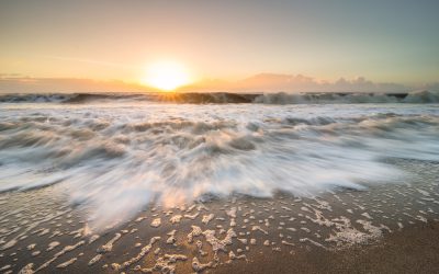
Some of it is barrier island. On Jekyll, Driftwood Beach is a shoreline of weathered trunks left behind as erosion reshaped the edge of the forest. At Edisto Beach, SC 174 runs twenty-eight miles from US 17 to the entrance of town. On Fripp, the Sea Island Parkway reaches its end with three and a half miles of Atlantic shoreline ahead. On Kiawah, the Ocean Course runs along the water and has hosted both the Ryder Cup and the PGA Championship.
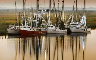
Some of it is old town. Beaufort keeps much of its history within walking distance of the water, in a district designated a National Historic Landmark in 1973. Savannah still follows the system of wards and public squares that began with James Oglethorpe’s plan in 1733. In Darien, on a bluff above the river near the Altamaha delta, shrimp boats still tie up along the waterfront.
The differences become even clearer when you look at who is there throughout the year. The Census tracks homes held for seasonal, recreational or occasional use, and on several of the barrier islands they make up a substantial share of the housing. On Kiawah in 2020, that was 65 percent of all housing; on Harbor Island, 63 percent; and on Fripp and at Edisto Beach, 60 percent. In communities with a much larger year-round population, the numbers are very different: Ridgeland 1 percent, Port Royal 3 percent, Beaufort 4 percent and Bluffton 5 percent.
How these places are growing is another part of the picture. Between the 2020 Census and the Census Bureau’s July 2025 population estimates, Hardeeville more than doubled in population. Port Wentworth grew about 62 percent, Bluffton 33 percent and Pooler 27 percent. Savannah itself grew about 1 percent over the same period. Some of the fastest population growth in this part of the coast is happening outside the historic city rather than within it.
The pages below take these places one at a time: where they sit, how you reach them, what is there and what the Census tells us about who lives there. We work from three offices along this coast: Beaufort, at 208 Carteret Street; Bluffton and Hilton Head, at 103 Okatie Center Boulevard North, Suite 102, in Okatie; and the Golden Isles, at 1401 Union Street in Brunswick.
Sourced: Driftwood Beach, Jekyll Island Authority. Edisto Beach access and distance, South Carolina State Parks. Fripp shoreline length and access, Fripp Island Property Owners Association. Ocean Course championships, Town of Kiawah Island. Beaufort’s National Historic Landmark date, National Park Service. Savannah’s town plan and its 1733 date, City of Savannah. Darien waterfront and shrimp fleet, McIntosh County and Georgia state tourism. Seasonal, recreational and occasional use counts, 2020 Census Demographic and Housing Characteristics file, table H5, whose universe is vacant housing units rather than all housing units. The percentages above are those counts over each place’s total housing units, from table H3 in the same file, occupancy status. Growth, the 2020 Census count compared with the Census Bureau’s July 1 2025 estimate, with every percentage computed from those two published figures.